Steigerwald Lake National Wildlife Refuge
Topographic Surveys
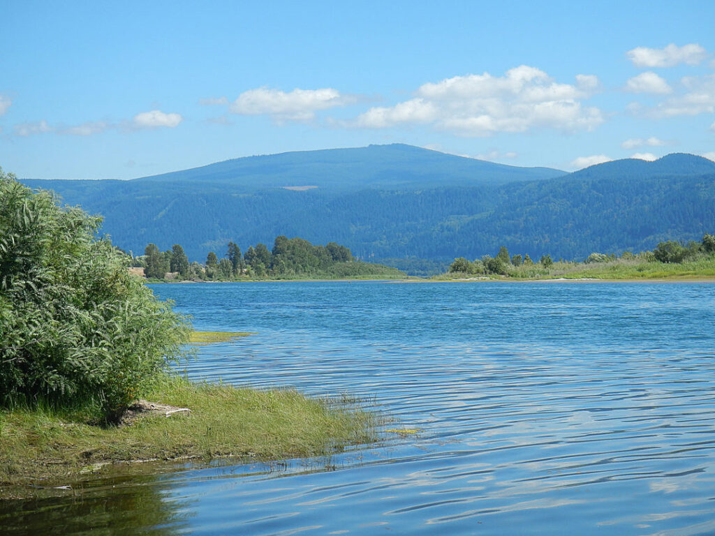
Statewide contracted with the ESA Vigil-Agrimis to supply supplemental ground mapping data along with aerial mapping data of over 1200 acres of the Steigerwald Lake National Wildlife refuge. The purpose of the topographic survey was to support the environmental assessment to restore floodplain connectivity to the Columbia River. The project would help improve habitat and benefit steelhead and cutthroat trout, chinook, coho, and chum salmon, and Pacific and western brook lamprey.
CLIENT
ESA Vigil-Agrimis
LOCATION
Columbia River
Service Provider
Statewide
YEAR
May 13, 2016
Other Projects
Crooked River Transect Survey
Statewide partnered with Cramer Fish Sciences to provide environmental stream data for the lower Crooked River. The data consisted not only of X,Y and Z information, but also contained flow, substrate, and hydraulic controls.
Heiple Road Boundary Survey
Statewide provided boundary survey services to Columbia Land Trust for a 23.2-acre property on Heiple Road in Clackamas County, Oregon.
Miller Creek Hydrographic Survey
Statewide provided services to ESA for the hydrographic mapping of Multnomah Channel near the south tip of Sauvie Island.