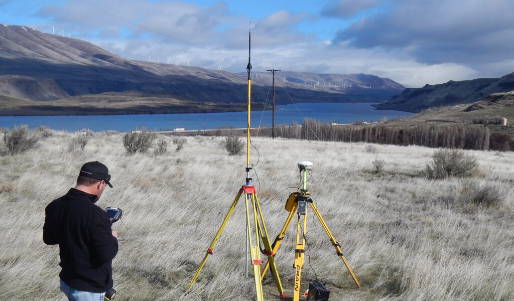
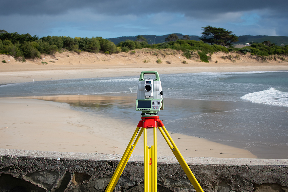
Sometimes referred to as a cadastral survey, a boundary survey documents the actual physical extent of property ownership, typically witnessed by monuments or markers such as iron rods, pipes, or concrete monuments in the ground. Monuments are measured, the boundary is resolved, any missing corners are reset, and a record of the survey map is recorded at the appropriate county surveyor’s office. An important component of the legal creation of properties, the cadastral surveyor must apply both the spatial-measurement principles of general surveying and legal principles such as respect of neighboring titles.
Applications
Reasons for a Boundary Survey:
Create, mark, define, and/or re-establish boundaries and subdivisions of land
Establishing or resolving where your property line resides
To obtain a building permit
For purchasing land
FEATURED PROJECT
Columbia Land Trust Boundary Survey
Statewide provided survey services to Columbia Land Trust for a 23.2-acre property on Heiple Road in Clackamas County, Oregon. Services included review of the existing title report, provision of a determination of the boundaries, and documentation of any encroachments around the subject tract. After determination of the boundary, Statewide placed a combination of metal T-posts and fiberglass posts at 100’ intervals along all property lines.
The Nature Conservancy of Oregon – Noble Oaks, Willamina, Oregon
Columbia Land Trust – Keller, Portland, Oregon
Map Inc – Since 2013, Clackamas, Polk, and Marion Counties, Oregon
Port Blakely Tree Farms – Since 2010, Clackamas County, Oregon
Catherine Dunlap – Baker Homestead, Corbett, Oregon
Please send an email to [email protected]to be granted access to Statewide’s Google Drive account. You will receive an email from Statewide via Google Drive with a link to access directory. Thank you.