The purpose of the Flood Certificate is to create a document for the determination of the costs associated with a Flood Insurance Policy. Flood Insurance is available through the National Flood Insurance Program, known as NFIP.
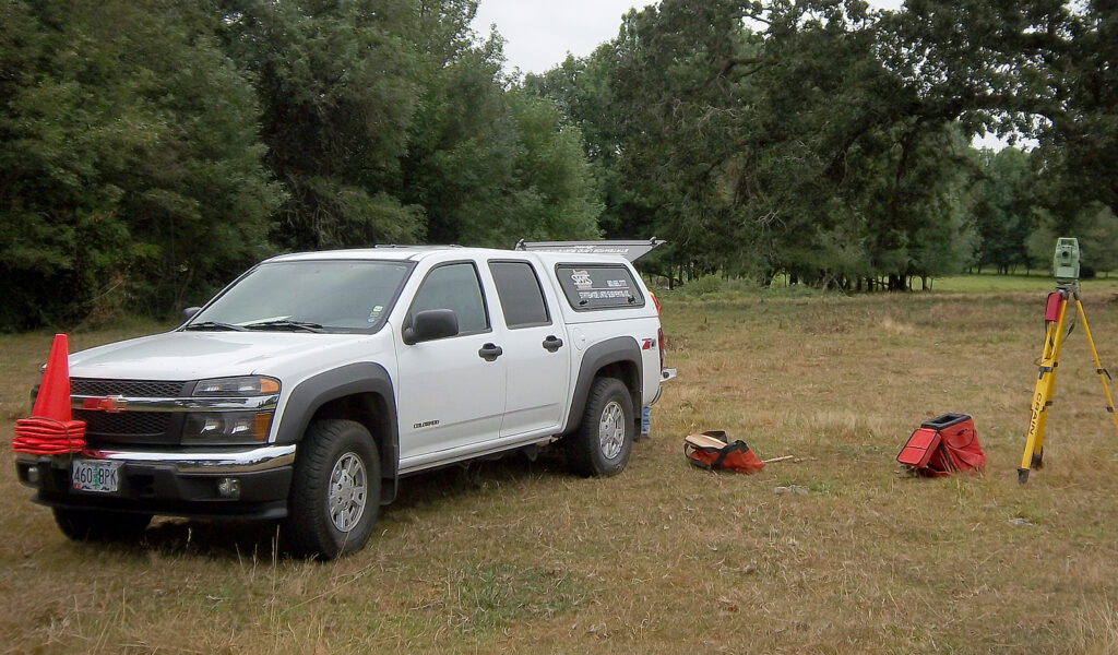
When preparing a Flood Certificate, the surveyor considers and records several key values in and near the home be certified. These values include the FEMA Flood Hazard Zone for the location, a base flood elevation for the 100 year flood, elevations of crawl space, living space, qualifying foundation venting, deck supports, elevation of service equipment, and elevation of ground both the low and high point near the home.
Your home insurance provider can only obtain the cost of Flood Insurance by submitting a Flood Certificate prepared by a licensed Land Surveyor in the State of Oregon to the NFIP. Statewide Land Surveying is a qualified provider of FEMA Elevation Certificates.
Applications
Reasons for a Flood Certification Survey:
<.br>
To satisfy lender of insurance provider requests for floodplain documentation
To document compliance with the community’s floodplain management ordinance
Please send an email to [email protected]to be granted access to Statewide’s Google Drive account. You will receive an email from Statewide via Google Drive with a link to access directory. Thank you.