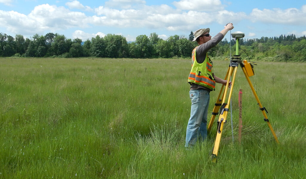
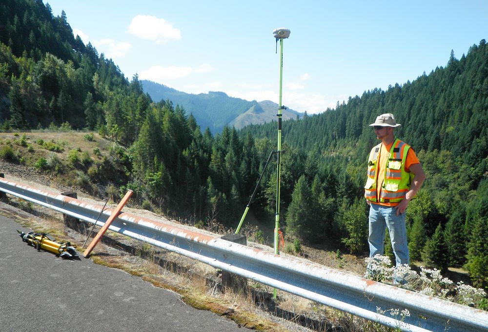
Global Positioning System (GPS) surveying is used to establish precise horizontal and vertical positions of points on the ground for the use in boundary determination, location of monitoring wells, control for aerial photographs, and other related purposes.
Applications
Reasons for a GPS / Geodetic Survey:
Aerial photo control
Large surveys
State grid systems
Other Statewide GPS Survey Projects
David C Smith and Assoc – Seal Rock Water District, Seal Rock, Oregon
USACE Portland District – Annual Jetty Surveys, Oregon
David C Smith and Assoc – City of Anacortes, Anacortes, Washington
USACE Portland District – Comprehensive Evaluation of Project Datum (CEPD), Willamette Valley, Oregon
David C Smith and Assoc – Rinker Material, Boardman, Oregon
FEATURED PROJECT
USACE Portland District
Statewide Land Surveying is under current contract along with David C. Smith and Associates for U.S. Army Corps of Engineers, Portland District for on call Aerial Mapping and LiDAR Services. Utilizing GNSS receivers, Statewide collects geospatial positions of ground control survey points to support David C. Smith and Associates aerial mapping.
Please send an email to [email protected]to be granted access to Statewide’s Google Drive account. You will receive an email from Statewide via Google Drive with a link to access directory. Thank you.